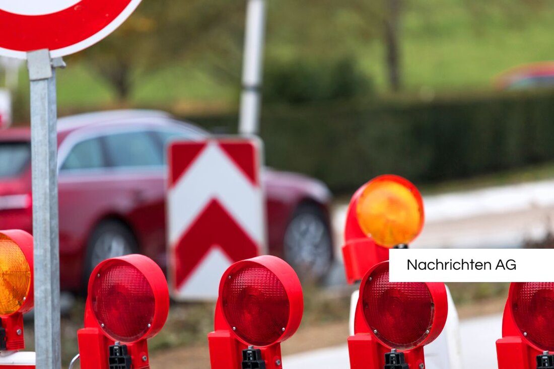
Mülheim Bridge open again – Google Maps shows incorrect closure!
Mülheim: Mülheim Bridge has been open to cars since July 10, 2025. Google Maps continues to show incorrect closure.

Mülheim Bridge open again – Google Maps shows incorrect closure!
The Mülheim Bridge in Cologne, an important structure for car traffic, has been open to motor vehicles again since July 10, 2025. Previously, the bridge was only accessible in one direction for months - a situation that posed major challenges for many drivers. But while the physical closure is now a thing of the past, Google Maps still shows the bridge as closed. This has already led to incorrect route recommendations, such as the diversion over the Zoobrücke for trips from Cologne-Riehl to Schanzenstrasse in Mülheim, which poses problems for drivers and driving services who are particularly unfamiliar with the area. This information is provided by the Cologne City Gazette. The display is expected to be corrected in the coming days, which will hopefully ease the situation.
Since the Mülheim direction was closed on February 5, 2024, traffic in the area has changed significantly, which increased the uncertainty on the roads. The renovation of the bridge, which has been underway since 2018, now costs around 500 million euros, which is double the original costs. The repair was originally planned for 2022, but completion is now not expected until 2028.
History of the bridge
The Mülheim Bridge has an eventful history. It emerged from the incorporation of Mülheim into Cologne in 1914, after which the city was obliged to build a bridge between the two parts of the city. Construction began in 1927 after inflation at the time delayed the process. The first connection across the Rhine was previously guaranteed by a ship bridge. The mayor of Cologne, Konrad Adenauer, advocated the creation of a suspension bridge. However, this connection was only established after the destruction of the first bridge in the Second World War by the new bridge, which was built in 1949 by Wilhelm Riphahn with technical support from Fritz Leonhardt. The new bridge, which has a span of 315 meters, served not only car traffic, but also public rail transport as well as bicycle and pedestrian traffic, like the platform baukunst-nrw.de describes.
Renovation work and improvements have been carried out repeatedly in recent years, including the last planting of the southern green area on the Mülheim side in 2002.
Innovative urban development
Another exciting aspect in Cologne is the “Morgenstadt” project. Here, in collaboration with the Fraunhofer Institute, the city of Cologne and the technology provider Esri, we are working on the development of a 3D city model that is intended to visualize future scenarios. Using virtual reality glasses, those interested can “walk” through the planned area in the Mülheim district. This innovative project promotes cooperation between different authorities and enables citizen participation in order to actively shape urban development. The aim is to present complex data visually and make the information more tangible for citizens. More on this is up wherenext.esri.de.
The Mülheim Bridge remains in the eyes of Cologne citizens and city planners not only as a transport facility, but also as part of a larger urban development concept. The challenges of the current traffic situation are enormous, but the long-term urban development projects give hope that these difficulties will be resolved.

 Suche
Suche
 Mein Konto